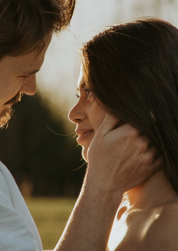
The Parkway is less a place than a long ribbon of ridgeline, and the plan for a session depends on which stretch you choose. Here is how I would think it through.
I live in Asheville, and the Parkway is the closest thing we have to a front yard. It runs nearly 470 miles and drops and climbs more than 5,000 feet in elevation, so a pullout at one milepost can feel like a different season from another.
Here is how to choose a stretch, plus the permit facts straight from the Park Service and the seasonal limits that catch people out.
From a Stories by Esi session
Choosing a stretch
Start with what each stop offers. The Park Service names the Craggy Dome parking overlook, the start of a 0.7 mile moderate trail to a wide summit view at milepost 364.2, and Graybeard Mountain Overlook just north of the Craggy visitor center. Farther south, Graveyard Fields Overlook is at milepost 418.8, and the Mount Pisgah trail begins at milepost 407.6.
Each of those has its own page on this site, because each asks something different of you. Some are a two minute walk from the car. Others ask for a steep trail with a camera bag, and I would plan a shorter session there.
Light on a ridge road
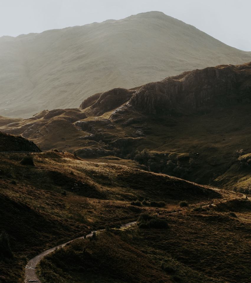
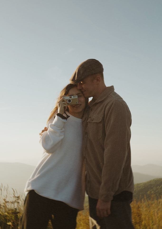
The Parkway follows ridgelines, so the sky is open in at least one direction almost everywhere. Overlooks that face east catch sunrise. Overlooks that face west catch sunset and the long warm light I love for couples. Look at which way a pullout faces before you commit to a time.
Fog and low cloud sit in the valleys on cool mornings, and that is the misty, layered ridge look people hope for. It is also unpredictable, so I build in a second plan for the same morning.
From a Stories by Esi session
When the road closes
The Parkway stays open year-round in principle, but the Park Service says sections may close from inclement weather or maintenance. Hurricane Helene repairs are also still shaping the map. As of October 28, 2026, the road section from Highway 80 to Mount Mitchell State Park is closed, and the Park Service says recreation of any kind is prohibited there. The sections around Asheville, Craggy Gardens and south toward Graveyard Fields were listed as open.
In fall, the Park Service says scattered color can appear at the highest elevations in late September and that most trees turn in October, starting on the highest peaks. It also says it is impossible to predict peak dates in advance, so I keep fall sessions flexible.
Rules worth knowing
Drones are prohibited within the Parkway's boundaries. Dogs must be on a leash no longer than six feet. A permit may be needed for a photographer or a ceremony, and the next section covers it, so you can read it before you pick a date.
A few sites are outside the Park Service's control even though they sit beside the road. Wiseman's View, Black Balsam Knob and Sam's Knob belong to Pisgah National Forest, Mount Mitchell to the state park, and Grandfather Mountain to its own operators.
From a Stories by Esi session
Good to know
Before we go
Wedding and elopement permit
As of October 2026 the Parkway's wedding page lists a $150 non-refundable fee ($75 application plus $75 administrative), a limit of 25 people in total including the photographer, and a two hour ceremony at an approved site and time.Official info
Photographer at a permitted wedding
The wedding page says a photographer needs no extra permit if they use only a camera, tripod and simple lighting.Official info
Commercial still photography
The Parkway's October 2024 fee notice lists a $150 application fee and a $350 administrative fee for commercial film and still photography. The Permits page says to use form NPS-10-932 and does not list a separate filming rate. Email BLRI_Permits@nps.gov to confirm what applies to a small portrait session.Official info
Lead time
Applications must be submitted at least 30 days before the event date, and the Park Service encourages 60 days. Payment is by pay.gov only, no cash or checks.Official info
Closed to special use permits
Linville Falls, Crabtree Falls and Devil's Courthouse are closed to all special use permits, and areas closed by Helene damage cannot be processed until they reopen.Official info
Road status
Status was read on October 28, 2026. Check it again before you go, because sections can close for weather or repairs.Official info
Drones
Launching, landing or operating an unmanned aircraft is not allowed on NPS lands within the Parkway's boundaries.Official info
Questions
Asked and answered
Do we need a permit for a photo session on the Blue Ridge Parkway?
A wedding or elopement ceremony needs a Parkway special use permit. For a paid portrait session the Park Service says certain filming and still photography activities require a permit and asks you to email BLRI_Permits@nps.gov to confirm. I would send that email before booking.
Is the Parkway open in winter?
The road is open year-round in principle, but the Park Service says sections may close from weather or maintenance. Check its road status page the day before you go.
Can we use a drone for aerial photos?
No. Drones are prohibited within the Parkway's boundaries.